Coast is clear on early aerial views


Remarkable aerial photographs of the east coast, some of them almost as old as human flight itself, reveal a lost world of ferries and fisheries, of flourishing holiday towns and bustling ports, that must have seemed sensational to the few who saw them.
Never previously published and now rescued for the nation, the prints recall a time when travel across the Humber was by paddle steamer, and when international trade was plied on small boats squeezed into cosy harbours.
Advertisement
Hide AdAdvertisement
Hide AdThe pictures come from the library of Aerofilms, the pioneering British company set up by flyers who survived the First World War and who wanted to harness their newly-acquired reconnaissance skills to earn them a living in the peace that followed.
“It was all a bit Heath Robinson,” said Peter Waller, a Bradford-born industrial archaeology specialist, who has compiled 150 of the pictures in a new book, England’s Maritime Heritage from the Air.
“They used biplanes with big plate cameras strapped to the sides,” Mr Waller said.
Later, Aerofilms took over an old hangar and in the course of nine decades, took more than a million pictures, including many of the first to be used by mapmakers.
Advertisement
Hide AdAdvertisement
Hide AdBut when the company was sold, the archive was threatened with destruction, and it was only their purchase by English Heritage, now renamed Historic England, that ensured their preservation.
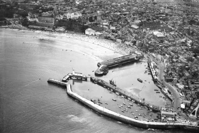
The large picture of the Humber Ferry, above, shows a rarely-seen and largely forgotten view of the city that could almost have been taken on the Mississippi River.
Paddle steamers, chosen for their ability to cope with the shallow shifting sands of the Humber, crossed the estuary until the beginning of the 1980s, when the road bridge finally opened, having been promised by the Labour Transport Minister, Barbara Castle, at the time of the 1966 by-election in Hull North.
Previously, the only alternative to the sea had been a circuitous road route laced with bottlenecks.
Advertisement
Hide AdAdvertisement
Hide AdThe ferry took around half an hour to carry up to 1,000 passengers at a time between Corporation Pier in Hull and New Holland Pier on the south bank, where a there was a connecting railway station.
Mr Waller said: “I remember going across on the ferry. It was like going back in time to your grandfather’s era.”
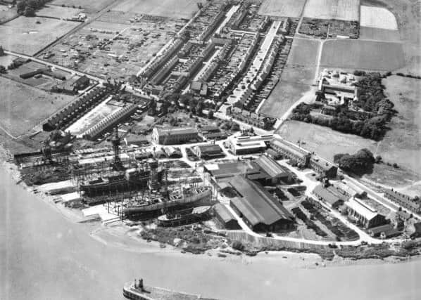
He added: “It is plain to see how England’s coastline has changed. At the start of the period, Whitby and Grimsby were given over to fishing, while Immingham, Goole and Hull were thriving ports.”
The clusters of ships show how two-way trade was carried on in the days before container ships, with timber from Scandinavia being unloaded en route to the pits inland, where it would be used to make pit props.