SNOW: Is more snow on the way in Leeds? Hour by hour forecast for Sunday, March 18


Some bus services have been cancelled or delayed, see the full list here.
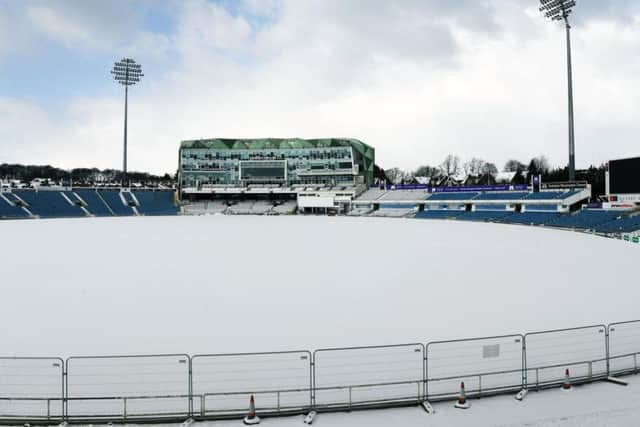
More snow could hit Leeds on Sunday, after heavy snow began on Saturday and continued overnight.
Here is the full forecast for Leeds and across Yorkshire:
9am Snow
10am Cloud
11am Cloud
12 midday Cloud
1pm Cloud and sunshine
2pm Cloud
3pm Cloud
4pm Very overcast, freezing temperatures (0 degrees
5pm Very overcast
6pm Cloudy
7pm Cloudy
8pm- 10pm Cloudy but further snow unlikely
Advertisement
Hide AdAdvertisement
Hide AdA fresh weather warning for ice has been issued by the Met Office for Monday, so although it looks like it's not going to snow again today, freezing temperatures and icy conditions are still likely.
Sunday
Strong and bitterly cold winds, with sunny intervals and further snow showers. The showers most frequent and heavy through the morning, before tending to become lighter and more scattered later. Snow drifting across hills. Winds easing slowly. Maximum temperature 1 °C.
Overnight:
A rather cloudy night is expected with most areas becoming dry with easterly winds continuing to slowly decrease in strength. Staying cold with a frost affecting most parts. Minimum temperature -4 °C.
Monday:
Monday probably a little brighter and mostly dry. Chance of showers in east. Snow will thaw in most places except across highest ground where temperatures remain below freezing. Maximum temperature 5 °C.