Storm Diana: Met Office issue yellow weather warning for parts of Yorkshire as 'very strong winds' could hit region


The 'be aware' warning is in place for some parts of the region for this Thursday, with people warned of a chance of 'very strong and disruptive winds'.
Storm Diana: Leeds to be hit as Met Office warns of 'major change' in weatherThere is a small chance of delays to public transport and longer journey times, while some bridges may be left exposed and roads could be forced to closed.
Advertisement
Hide AdAdvertisement
Hide AdThe warning is in place between 3am and 3pm this Thursday, November 29.

It covers parts of West Yorkshire predominantly, with the warning just missing the likes of Leeds and Bradford, it does affect the likes of Keighly and Skipton, as well Manchester and Bolton to the west.
Warning: How not to fall victim to thieves stealing cars while they are being de-icedLeeds weather forecast
Today:
Early fog will lift, followed by a dry morning with a few bright spells.
Advertisement
Hide AdAdvertisement
Hide Ad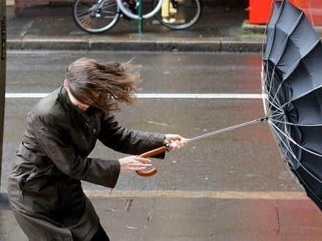
Cloud then thickening from the west during the afternoon, with rain and strengthening winds spreading east. Rain turning heavy and persistent across the Pennines later. Maximum temperature 8 °C.
Breezy, with outbreaks of rain during the evening. These likely easing for a time, before breezy conditions return by dawn, with further rain or drizzle possible. Minimum temperature 5 °C.
Wednesday:
A wet, windy day, with gales possible, especially along coasts and hills, although some drier intervals likely. Turning much milder. Maximum temperature 14 °C.
Outlook for Thursday to Saturday:
Early morning rain soon clearing Thursday. Then windy with sunny spells and occasional heavy showers until Friday evening. Perhaps dry start Saturday, before cloud thickens, with rain possible later.